Instant land valuation, driven by real data.
We go beyond zonal averages—combining market data, satellite insights, and AI to deliver parcel-level land values, tailored for productivity, sustainability, and ecology.
LIVE NOW—TRY IT IN SECONDS
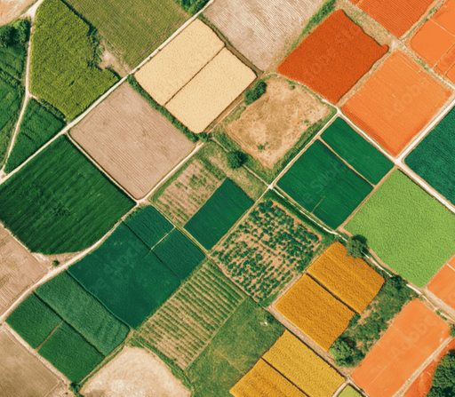
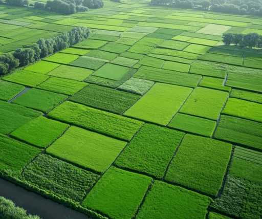

40.000.000+ hectares analyzed and valued
LIVE NOW—TRY IT IN SECONDS
Instant Land Valuation, driven by real data
We go beyond zonal averages—combining market data, satellite insights, and AI to deliver parcel-level land values, tailored for productivity, sustainability, and ecology.
40.000.000+ hectares analyzed and valued
Features
Game-changing features for increased productivity.
Discover the powerful features designed to help busy professionals stay organized, save time, and manage projects effortlessly. Everything you need — nothing you don’t.

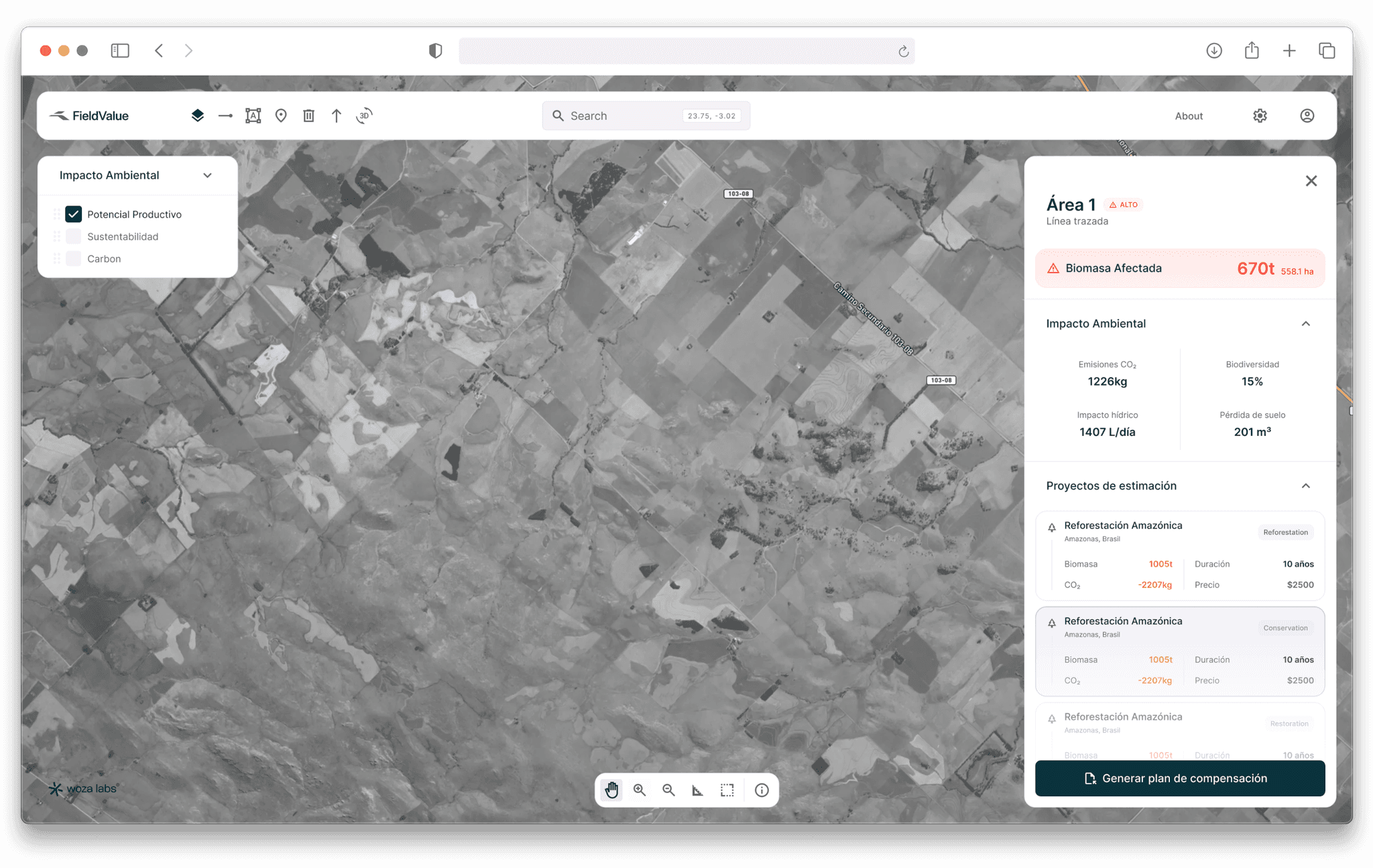
AI-Refined Valuation
$1.300/ha
Market.Yield. Sustainability
Moisture
25.8%
Crop
Soybean

EUDR
VERIFIED
EU Deforestation Regulation

2BSvs
NOT VERIFIED
Sustainability Certification
$1.200/ha
Min
$1.400/ha
Max
Land Use
Agriculture
About
This is not just a product — it’s a real-world deployment built on Woza Engines.
We launched this Build to redefine how land value is understood, forecasted, and activated. Powered by AI-native infrastructure and geospatial intelligence, it fuses science, satellite data, terrain logic, and regulatory layers into a living model of land dynamics.
OUR VISION
To reshape the way institutions interact with land — not as static assets, but as dynamic systems that reflect climate pressure, natural capital, and opportunity.
BACKED BY
FAQs
Everything You Need to Know!
Find answers to common questions about our platform, waitlist, and upcoming features. If you don’t see what you’re looking for, feel free to reach out — we’re here to help!
Q.
What makes this platform different from traditional land valuation tools?
We don’t rely on zonal averages. Our system combines real market data, satellite intelligence, and foundational AI models to deliver parcel-level land values—instantly and objectively.
Q.
Who is this tool designed for?
Q.
Is this just an estimate or can it be used for serious decision-making?
Q.
How do I get started?
LIVE NOW—TRY IT IN SECONDS
Instant Land Valuation, driven by real data
We go beyond zonal averages—combining market data, satellite insights, and AI to deliver parcel-level land values, tailored for productivity, sustainability, and ecology.
40.000.000+ hectares analyzed and valued
Features
Game-changing features for increased productivity.
Discover the powerful features designed to help busy professionals stay organized, save time, and manage projects effortlessly. Everything you need — nothing you don’t.
AI-Refined Valuation
$1.300/ha
Market.Yield. Sustainability
Moisture
25.8%
Crop
Soybean
EUDR
VERIFIED
EU Deforestation Regulation
2BSvs
NOT VERIFIED
Sustainability Certification
$1.200/ha
Min
$1.400/ha
Max
Land Use
Agriculture
About
This is not just a product — it’s a real-world deployment built on Woza Engines.
We launched this Build to redefine how land value is understood, forecasted, and activated. Powered by AI-native infrastructure and geospatial intelligence, it fuses science, satellite data, terrain logic, and regulatory layers into a living model of land dynamics.
OUR VISION
To reshape the way institutions interact with land — not as static assets, but as dynamic systems that reflect climate pressure, natural capital, and opportunity.
BACKED BY
FAQs
Everything You Need to Know!
Find answers to common questions about our platform, waitlist, and upcoming features. If you don’t see what you’re looking for, feel free to reach out — we’re here to help!
Q.
What makes this platform different from traditional land valuation tools?
We don’t rely on zonal averages. Our system combines real market data, satellite intelligence, and foundational AI models to deliver parcel-level land values—instantly and objectively.
Q.
Who is this tool designed for?
Q.
Is this just an estimate or can it be used for serious decision-making?
Q.
How do I get started?
Scroll Down